 Authorised XAG Reseller — spray drone sales NZ-wide —
Local Drone Services
The three jobs we run day in, day out across the Wairarapa and wider Wellington region — spraying, lifting and roof treatment.
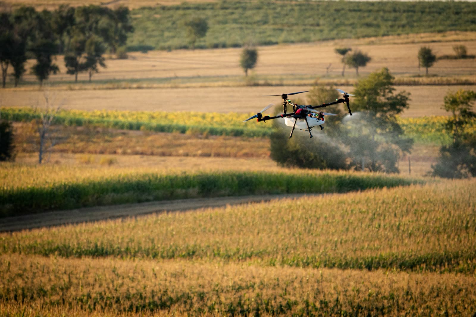
Ag Spraying & Spreading
Agrichemicals, fungicides, liquid fertiliser, seed and slug bait, applied with XAG precision.
Learn more →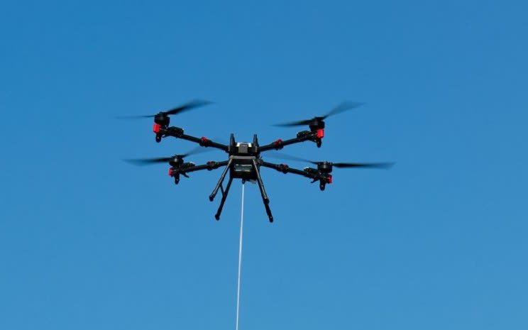
Drone Lifting
Heavy-lift hoisting up to 80kg for hard-to-reach jobs, powered by XAG RevoSling.
Learn more →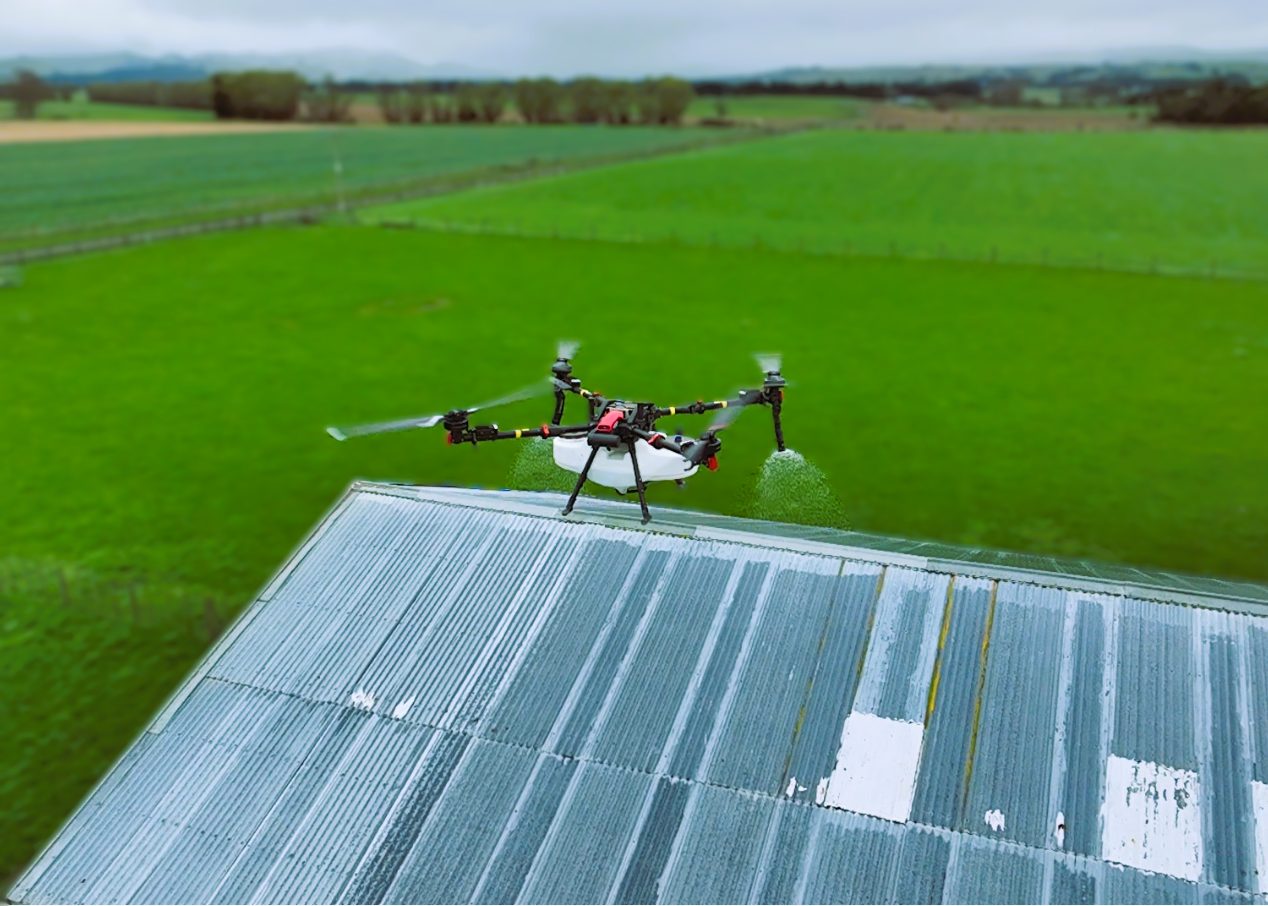
Commercial Roof Spraying
Remove moss, mould, algae and lichen from any size roof — no scaffolding required.
Learn more →Also available for specialised work: vineyard monitoring · earthwork & stockpile management · thermal imaging · power pole & line survey · multispectral imaging
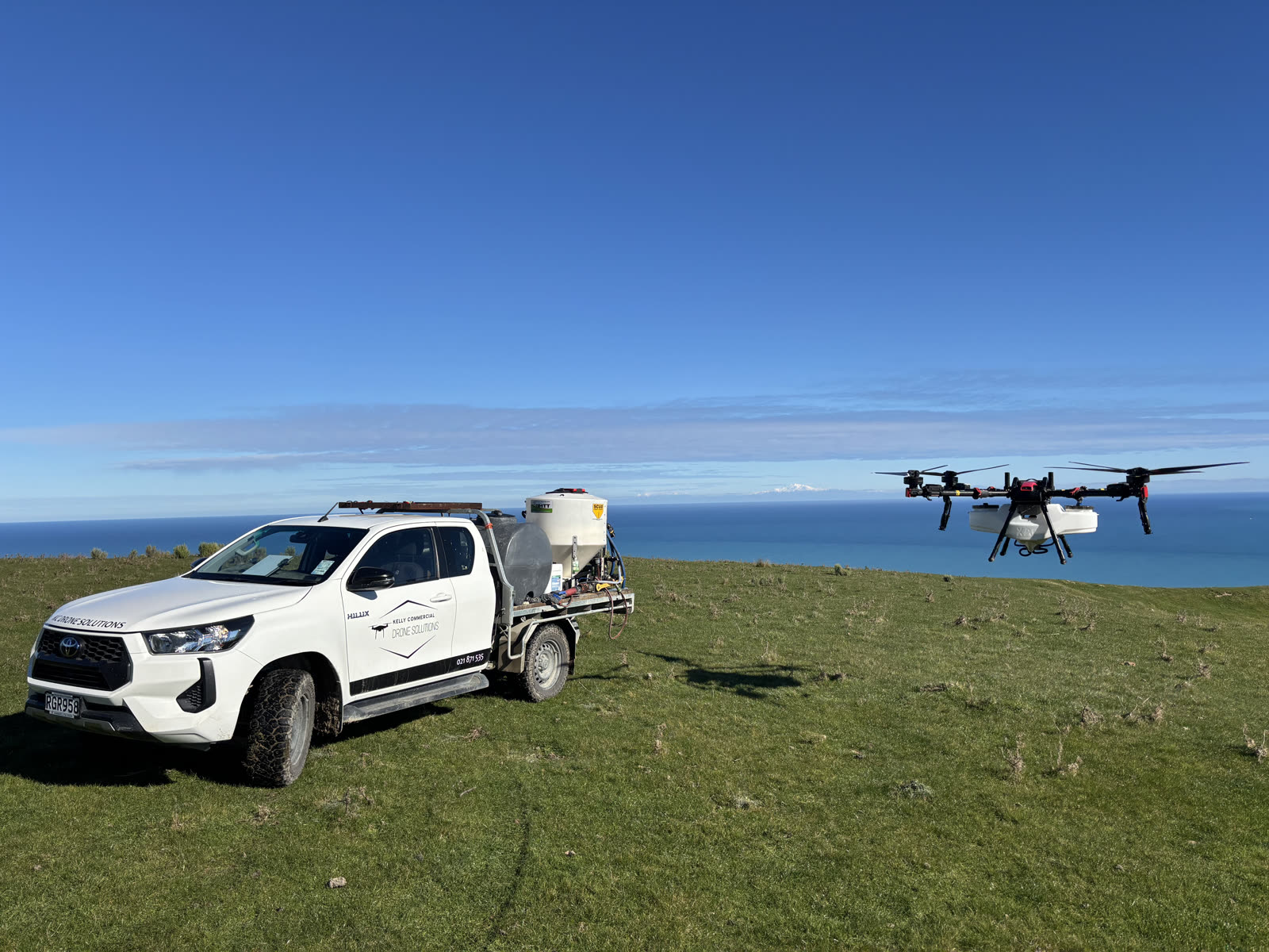
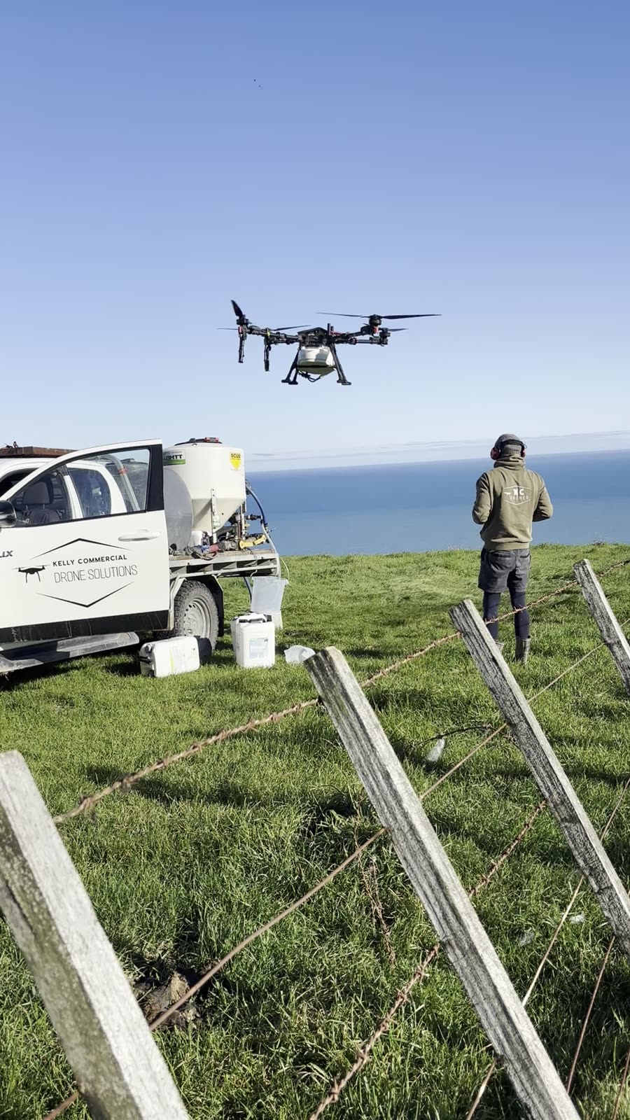
Out On The Job
Local crew, local ground
Based in Martinborough, working across the Wairarapa and wider Wellington region every week.
Not sure which service you need?
Tell us about your job and we'll point you to the right service — or the right XAG drone.