 Authorised XAG Reseller — spray drone sales NZ-wide —
Earthwork & Stockpile Management
Accurately measure your stockpiles with UAV photogrammetry. Combined with precision RTK GPS, we map your worksite in minutes with extreme precision.
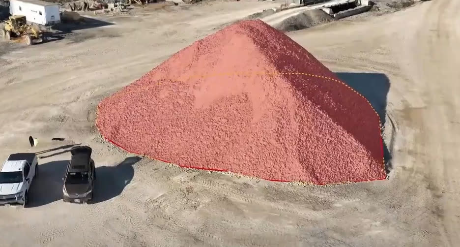
Volume, slope & progression — accurately calculated
We input mapping data into industry-leading software to accurately calculate stockpile volume, slope, elevation, job progression and more — delivered as a PDF for your records or an online 3D view with customisable annotations and measurements.
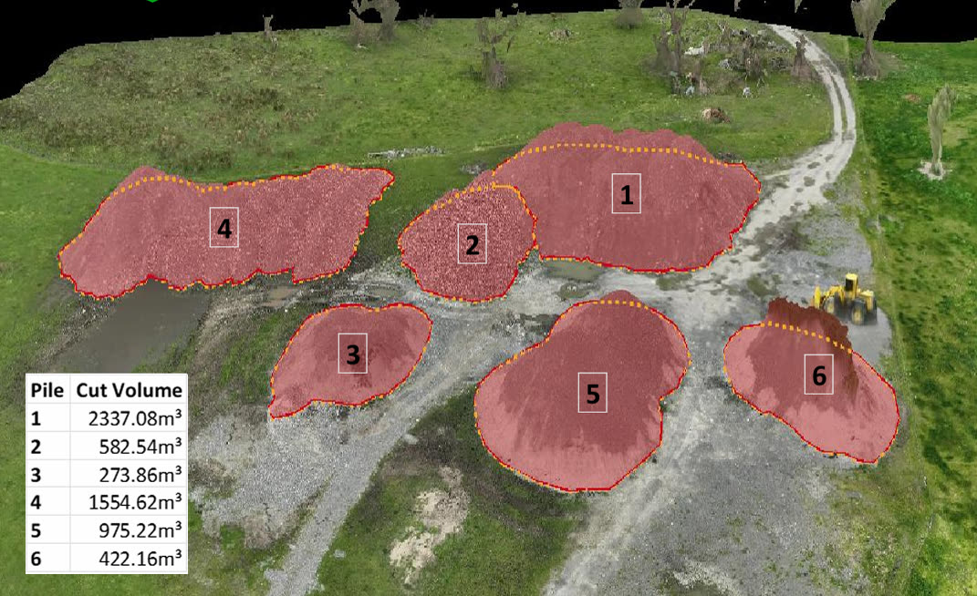
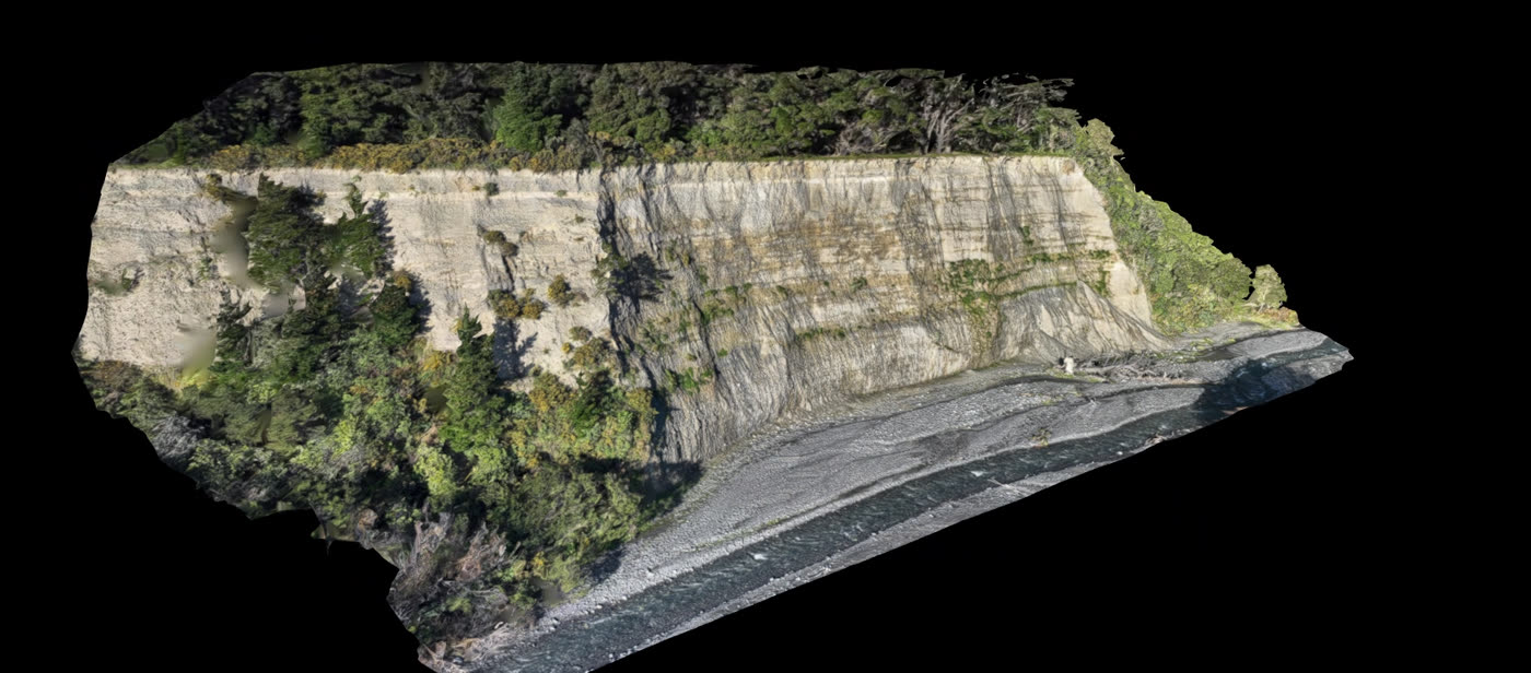
Site management & monitoring
We generate 2D/3D maps and models of your worksite, giving valuable visual representation of progress for site management, health and safety, or insurance purposes — with easy comparison of site progress and volumetric change as the job progresses.
Fill volume calculation
Beyond stockpile and pile volume, we accurately calculate required fill volumes for bunkers, holes, quarries, slips and pits using 3D mapping software — especially useful for planning irrigation dams.
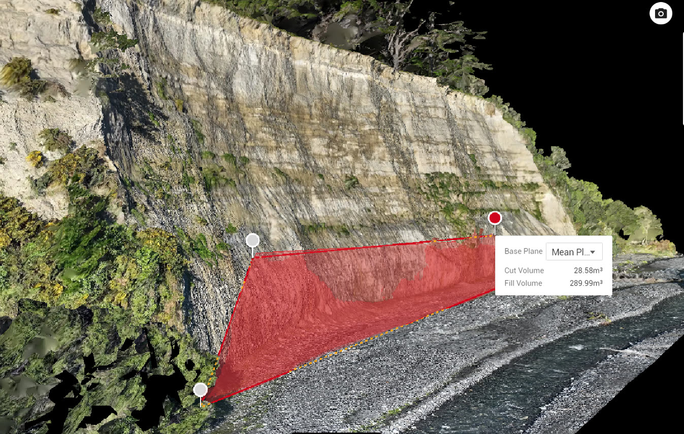
Get an accurate site survey
Tell us about your site and we'll come back with a clear, obligation-free quote.